top of page
Preserving & Promoting
Local History, Art, & Culture

Shawmont Station Oldest Passenger Train Station (2019)

Valley Green Along the Wissahickon

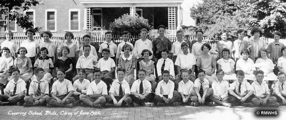
1925 Levering School

Shawmont Station Oldest Passenger Train Station (2019)
1/10
Main Street Manayunk Historic District
Map
Note: RMWHS has divided the original maps into smaller sections so that viewers can of the original map, RMWHS had divided it into smaller sections to allow viewers to open full screen and permit details to be legible.
 Describe your image |
|---|
Section A: Flat Rock Dam, Lock Keeper's House, Upper Lock
(Click to open full screen)
 Describe your image |
|---|
Section B: Upper End of Flat Rock Road & the Fountain Street Bridge
(Click to open full screen)
 Describe your image |
|---|
Section C: Leverington Street & Green Lane Bridges, Upper Main Street
(Click to open full screen)
 Describe your image |
|---|
Section D: Cotton & Lock Street Bridges, Lower Main Street
(Click to open full screen)
 Describe your image |
|---|
This information has been posted by RMWHS with the permission of the Philadelphia Historical Commission.
bottom of page